Ashika Morasiewicz
Outdoor Adventurer from the North Shore, BC
What's Buzzin'
Adventures with T1D
I’m an outdoor adventurer living in Vancouver, BC. I love exploring the outdoors all-year round with my family; whether we’re pushing for a summit or camping next to an alpine lake while challenging my Type 1 Diabetes (T1D). I hope to inspire others by sharing our stories and I hope to be inspired by like-minded Type 1s within our community.
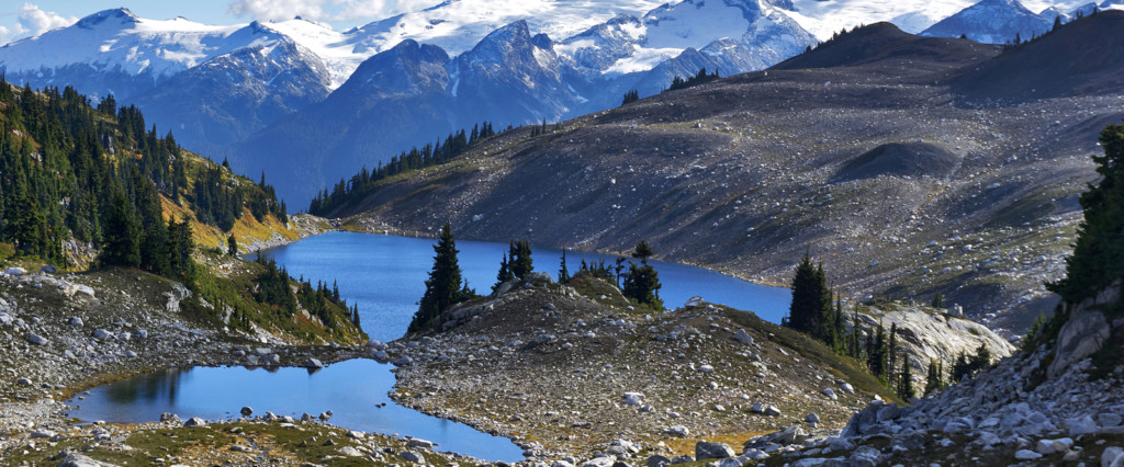
It’s that time of year again, when we choose the most perfect moments and reflect on them, hold on to them, to validate to ourselves that they were something special. We choose these memories because they are the way things should have been, would have been, had it not been for, well, life. In these snapshots, the moments are unwarped and golden. The views and sensations are in fine detail: wildflowers dancing in the breeze, rainfall streaming down my face, legs overrun by a burning sensation from pushing myself hard, and hills being conquered until there’s nothing left to ascend. The finest detail, though, is in how I felt: I was laughing, we were sore and tired and relaxed at the same time, and we were always dreaming about the next adventure.
I learned many lessons throughout the year, including Twenty Things Only Adventurers Would Know, but the most important of all is attributed to what the mountains taught me:
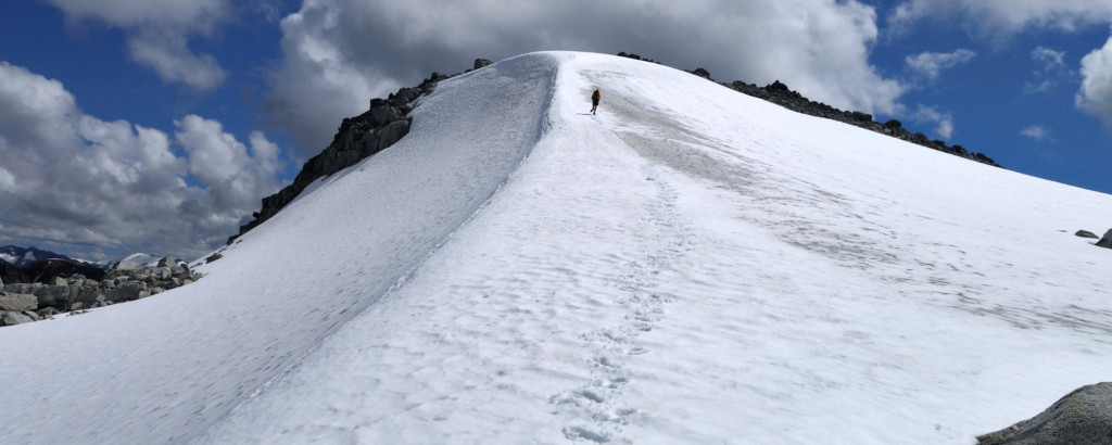
For a wild place, where anything can happen, I never feel more in control than when I’m in the mountains.
Last updated: November 18, 2018
Trip Planning Resources
Please note: newly added links are in bold font below.
Everyone has their own method to the madness of trip planning – some plan extensively, some don’t see the value in planning, and some may not know how or where to start. There is an abundance of information available online to help you decide where to go, when to go, how to pack, and more. I can’t comment on the accuracy of the sites out there, but I do have several go-to sites I like to check out for local updates and area-specific conditions before heading out. Personally, Ryan & I have dozens of links and webcams we pull up when making plans – especially during periods when weather can be marginal. And this was pretty much how we came up with the idea of creating this post – instead of googling different things for different areas, we decided to create a one-stop shop of links and resources for various adventure needs.
Read More
Trip date: December 15, 2016
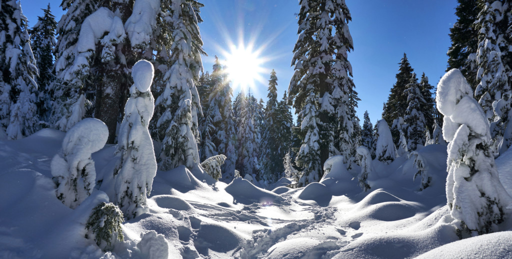
I just wrapped up the semester last week with final exams, and I’ve been hitting the mountains every day (all two of them) since. I’ve been warming up my legs for bigger winter trips later in the season, so far so good.
Stats
Trip Date: November 6, 2016
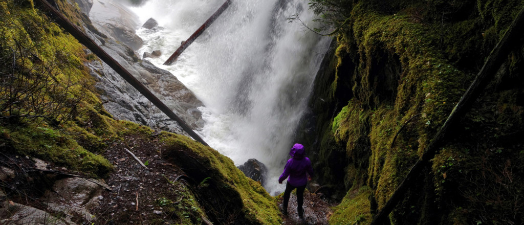
With the record-breaking rain we’ve had to date this season, it was a no-brainer to find some waterfalls to chase a few Sundays ago. We recently hiked to Kennedy Falls and Cypress Falls in the North Shore, and I’ve spent some time exploring various cascades on Burke Mountain, including Sawblade Falls. After some plan-devising, we decided to hike the Sigurd Creek Trail to Crooked Falls, located in Squamish, BC. Read More