Ashika Morasiewicz
Outdoor Adventurer from the North Shore, BC
High Ridge, Shulaps: October 4, 2014
I wanted to get one last Shulaps trip under our belts before the hiking season was over. As far as I know, Thanksgiving weekend is normally the wrap-up for hiking in the Shulaps. Marshall Lake locals start winterizing their cabins, hunting season is underway, and within a week or two, the mountains get their first dusting of snow.
We ducked out of Vancouver on Friday night and made our way to Marshall Lake via the Duffey. We arrived late at the campgrounds on the north end of the lake and set up camp. I was surprised to see how full it was on a non-long weekend; I think we claimed the last spot.
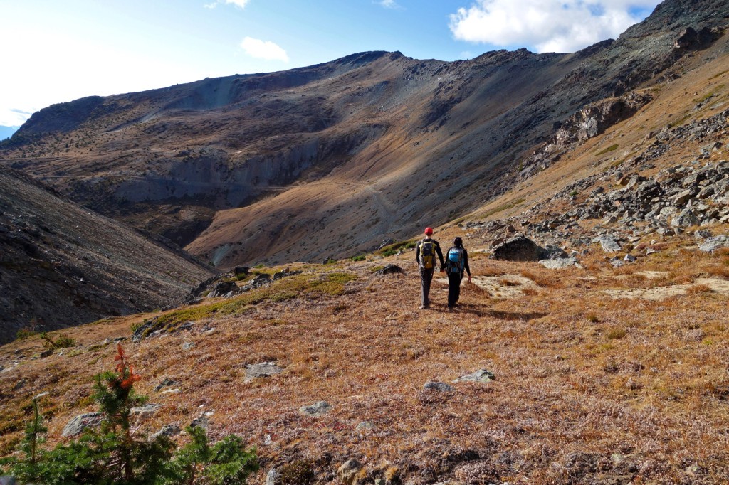
The plan for Saturday was to get an early start, make our way to Jim Creek headwaters and follow it up to the high ridge to get an idea of how far Shulaps Peak was.
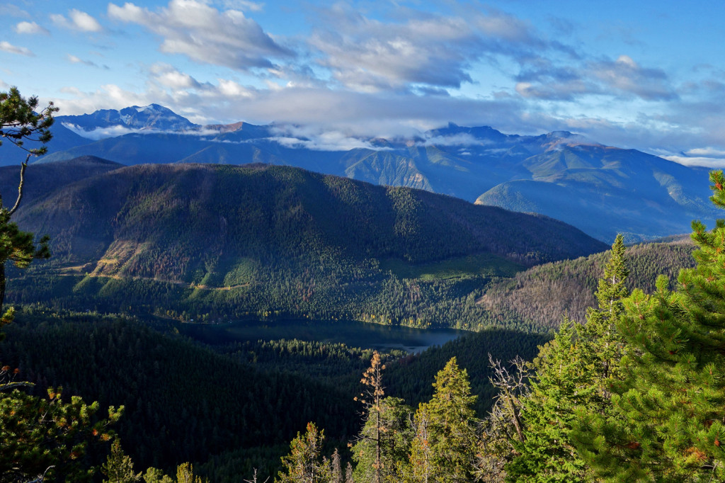
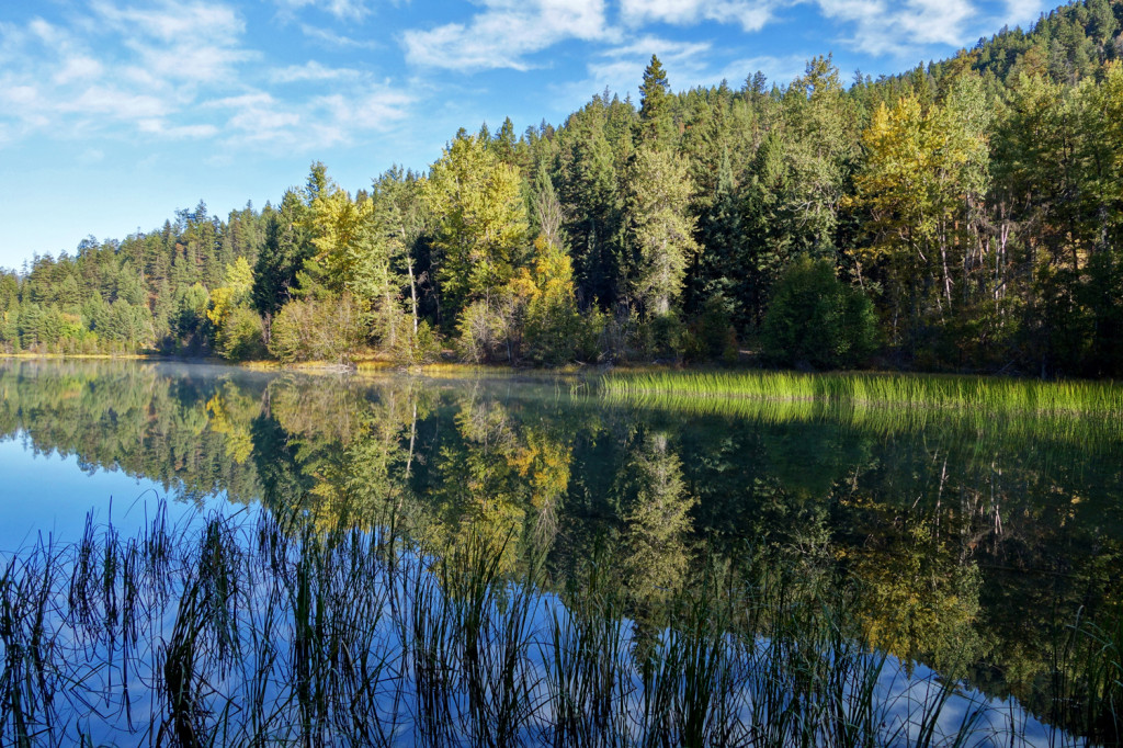
View of Marshall Lake:
As we gained the alpine, the sound of gun shots rang through the air. Ahhhh, open buck season:
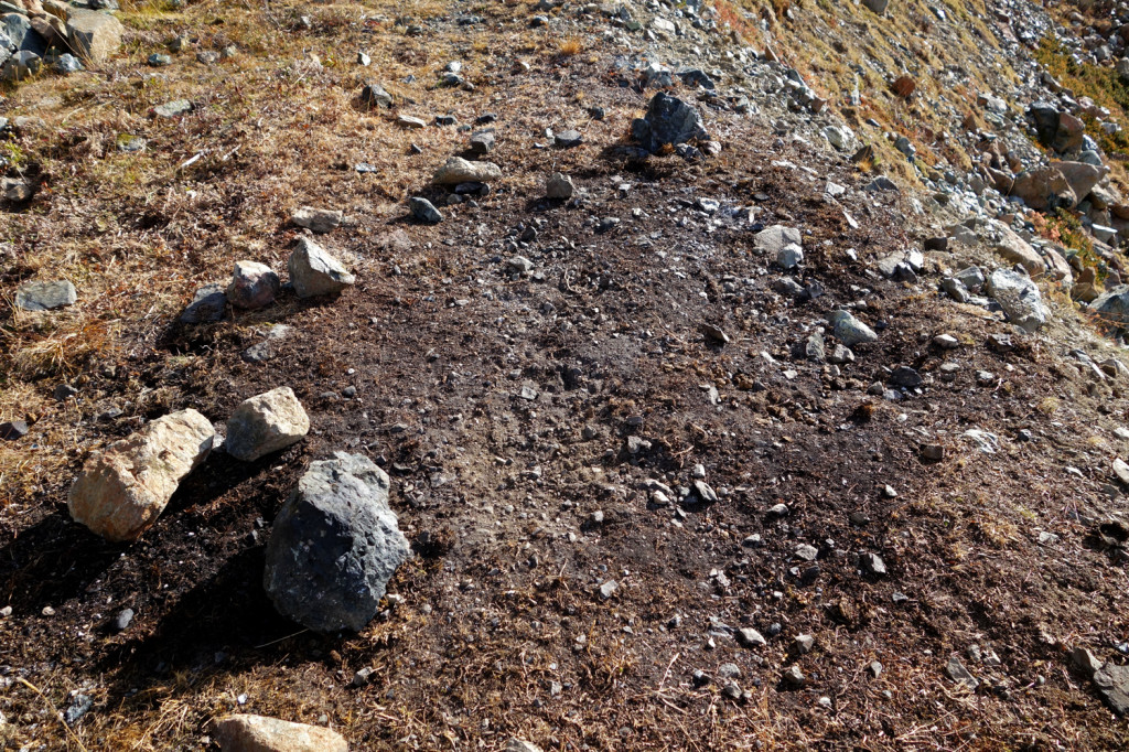
If you remember on our previous post, we came across a cairned stash of dynamite that an RCMP explosives technician ‘neutralized’ (addendum coming):
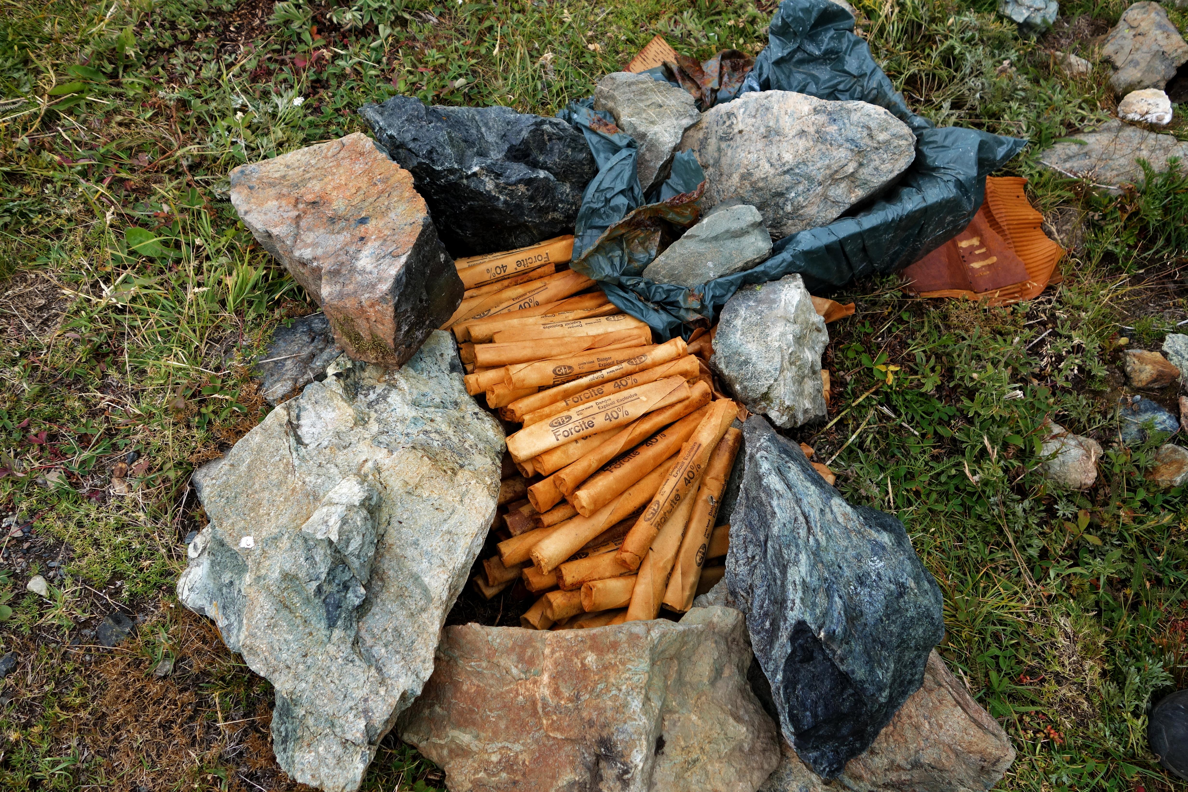
Here’s an ‘after’ shot of what was left after the explosives team removed it:
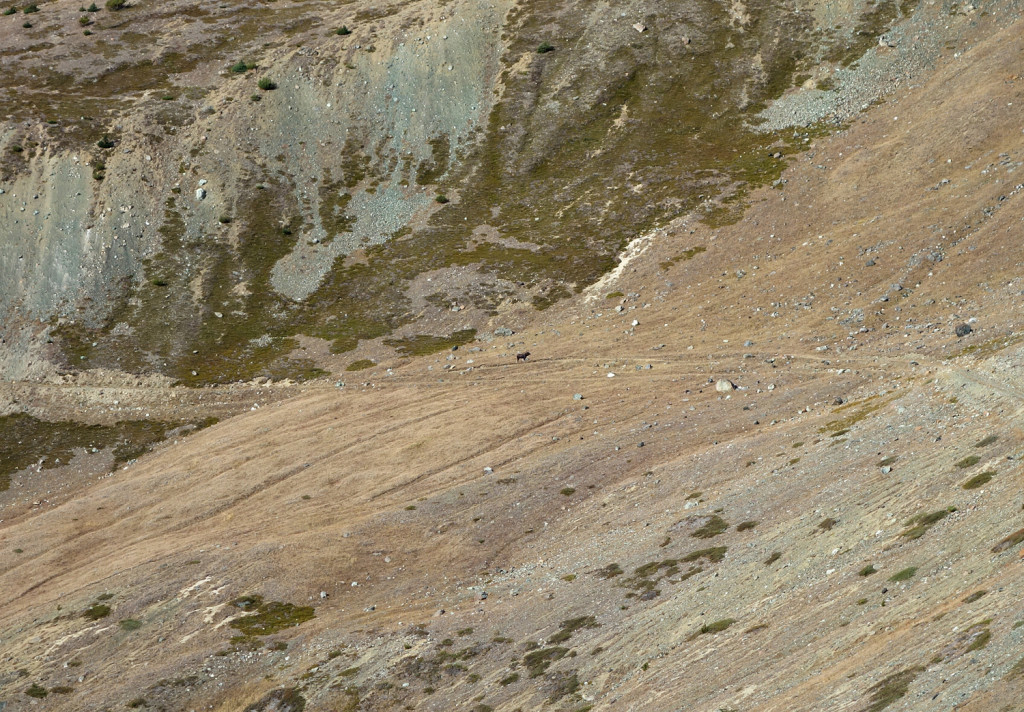
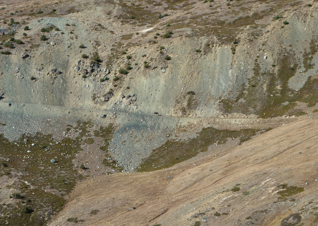
Further along, Ryan happened to look back and noticed something large walking along the road we had hiked in on. Zooming in with our cameras, we saw it was a moose!
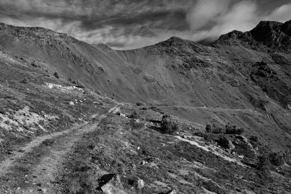
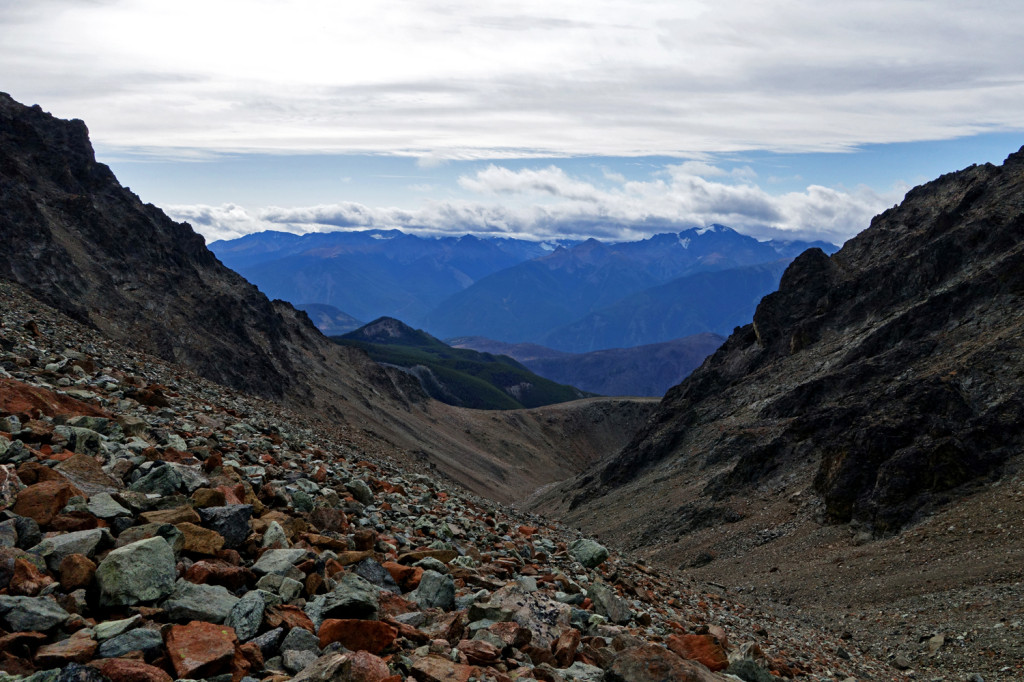
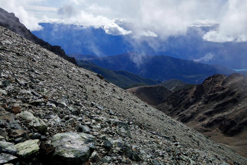
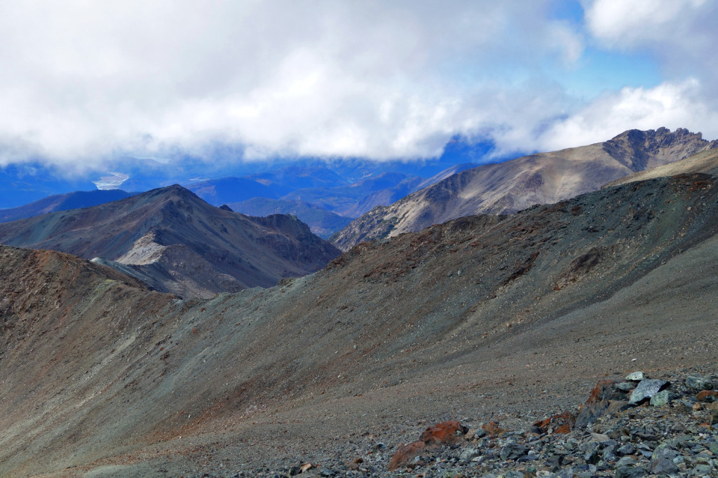
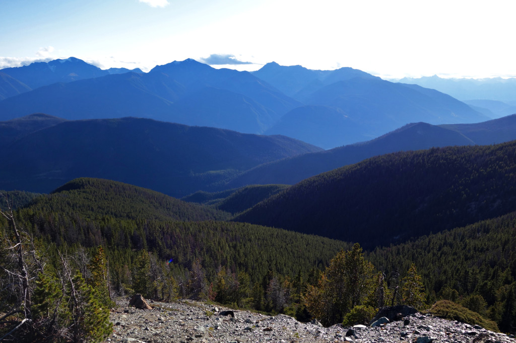
Views along Jim Creek headwaters:
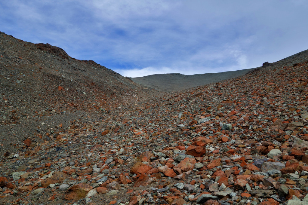
Finally gaining some height:
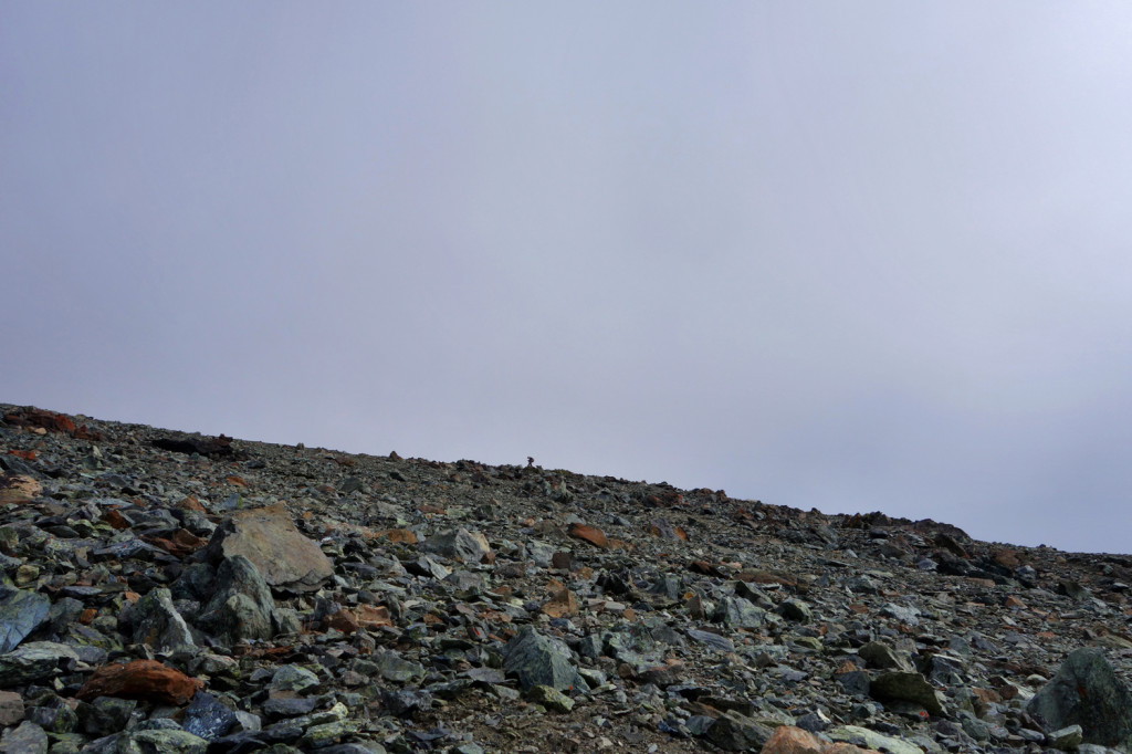
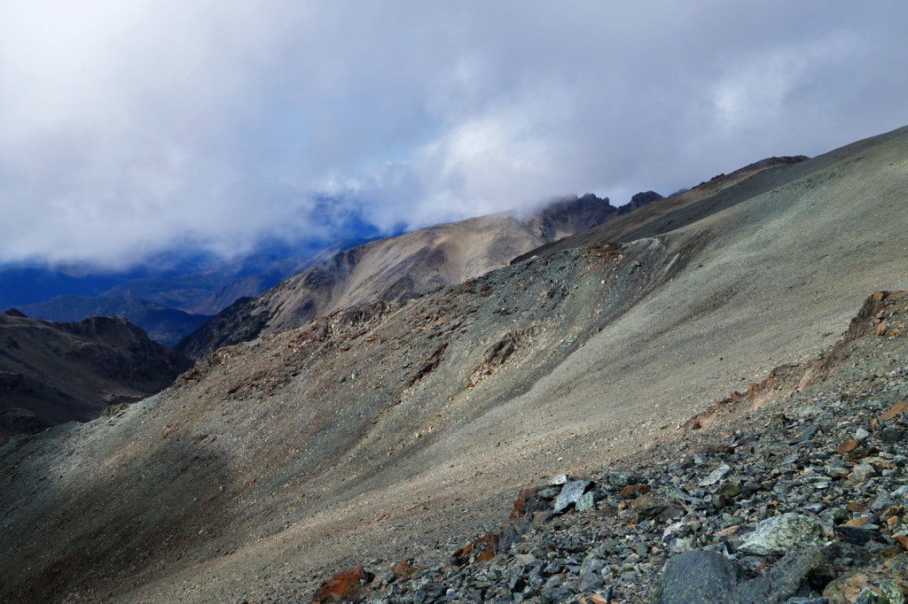
Well, I hate to admit it, but this was my turn around point. It was my first time hiking up very steep and loose scree and I hit a point where I was not comfortable continuing on. We hadn’t reached our goal for the day, so I convinced Ryan (and it took a lot of convincing) to go ahead and check out the ridge so we have an idea of how to approach the summit next year. I planted myself on a comfortable rock and Ryan took off:
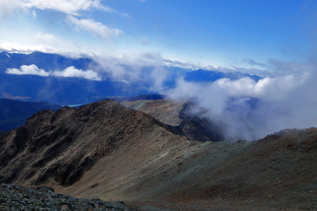
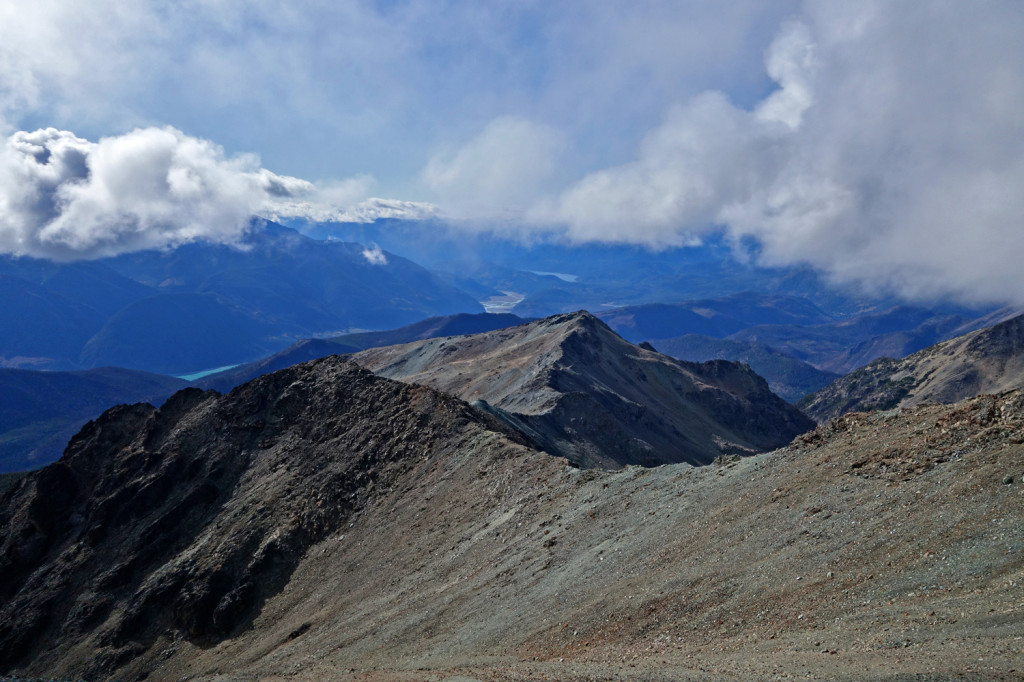
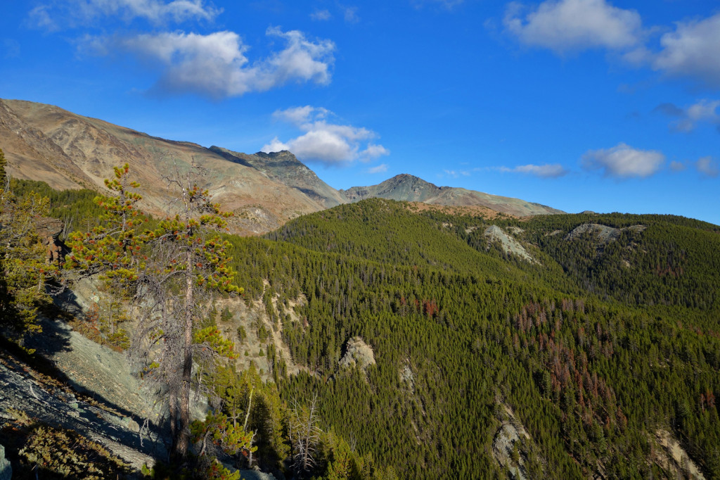
Unfortunately, I was only ~100m (vertical) away from topping out on the ridge myself. Thankfully, I had great views to keep me company:
When he returned, Ryan gave me a quick recap of what he saw and we made our way back down. Within minutes of our descent, I realized how easy it was to hike on loose scree and I instantly felt better about it. As we were making our way down the steep slope, I noticed round spots that had been flattened out – resting spots for the bighorn sheep.
In any case, we gained 2 things at this point: 1. Steep and loose scree slopes are more manageable for me and 2. Ryan found an alternate ridge walk for our next trip.
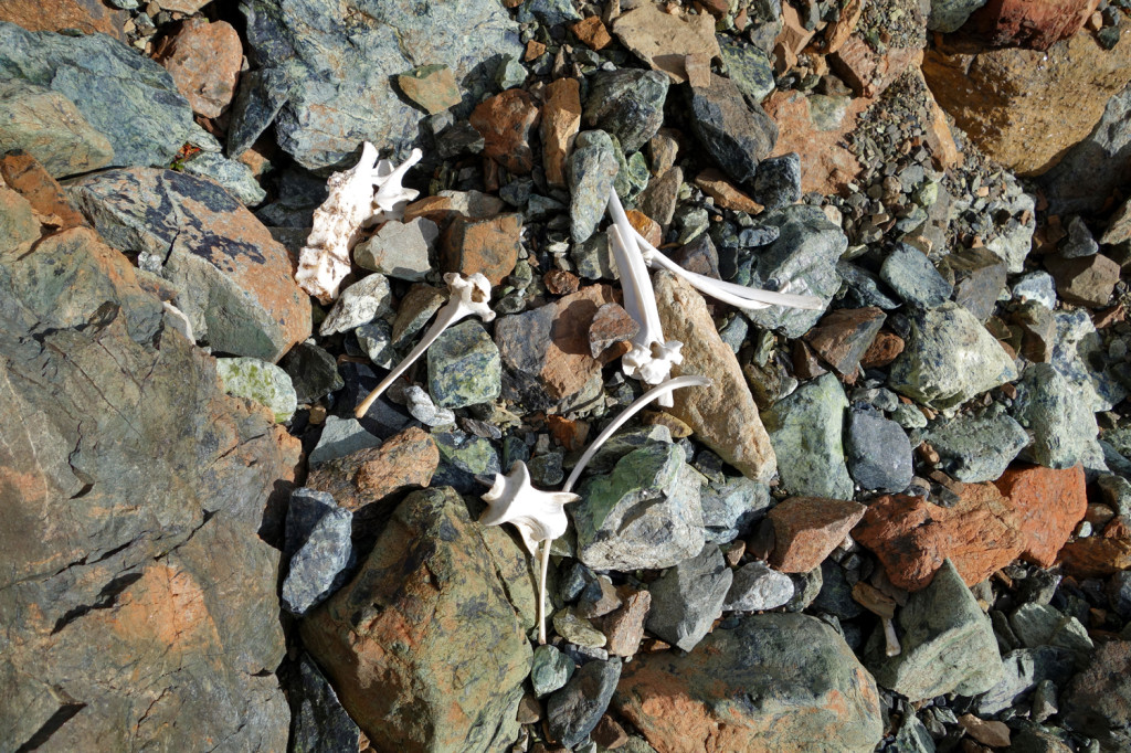
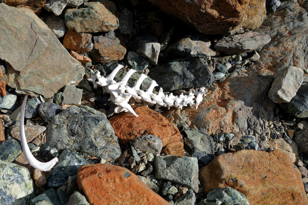
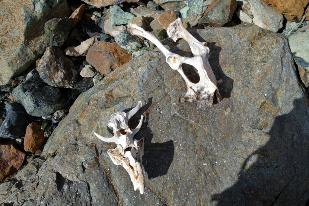
On our way down, we came across some animal remains. Can’t say I’ve ever come across anything like this before:
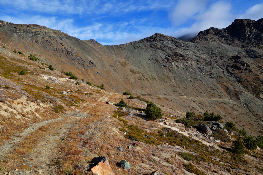
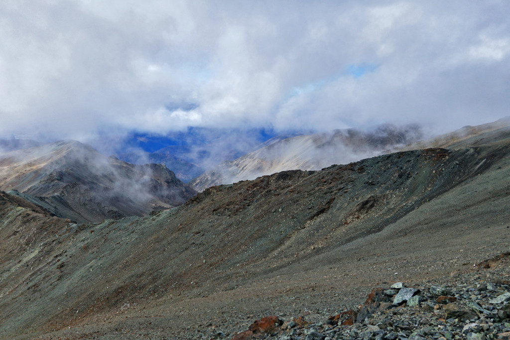
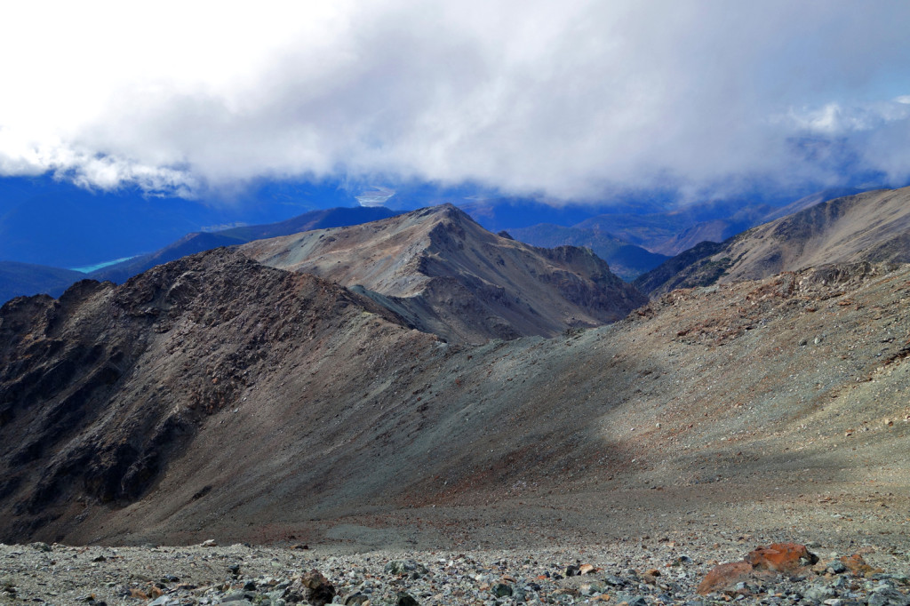
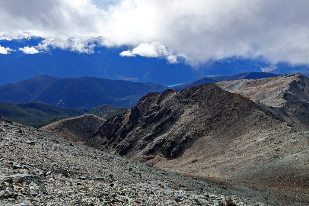
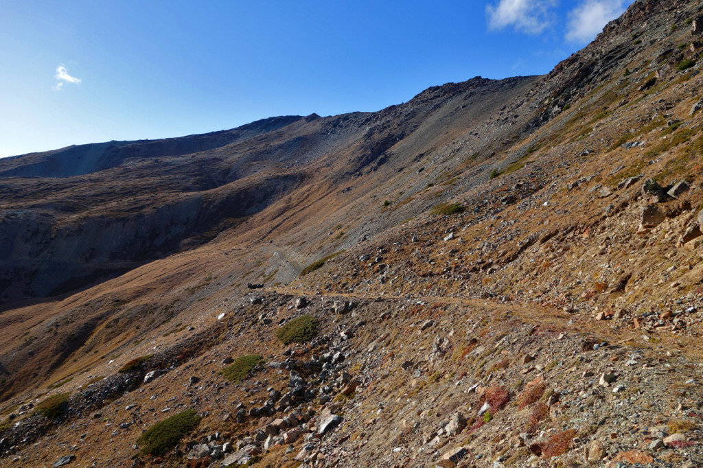
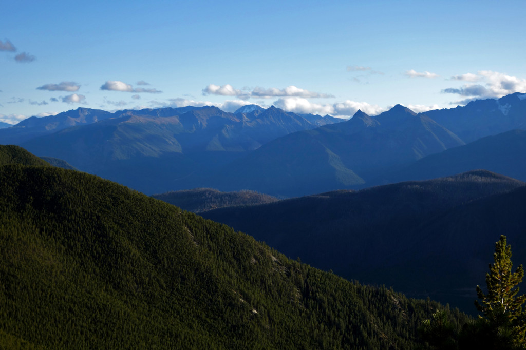
Views on our way back:
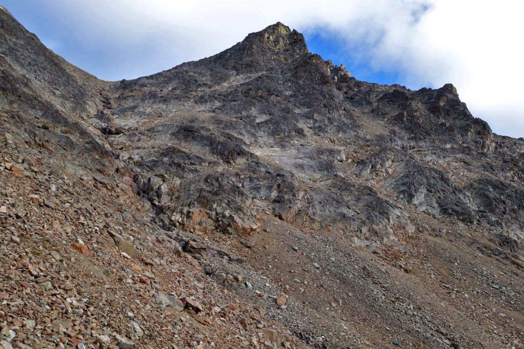
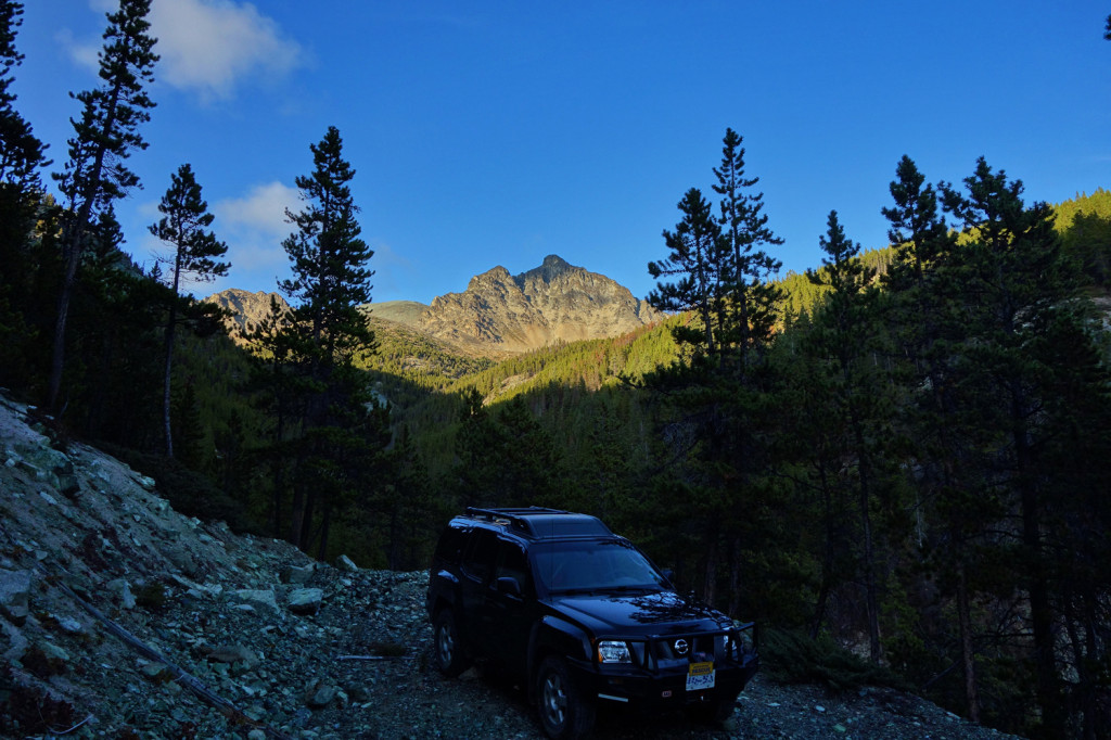
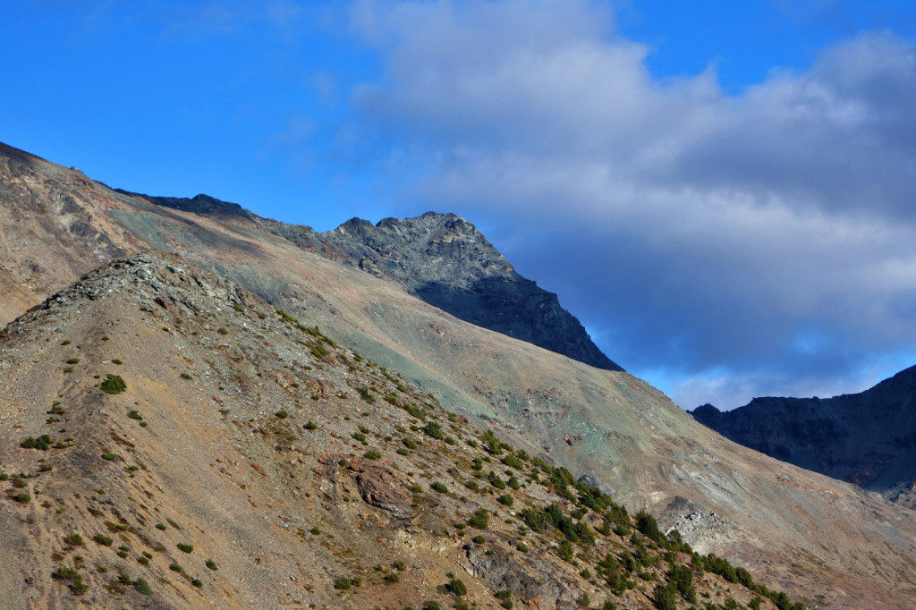
Shulaps Peak:
Ryan and I:
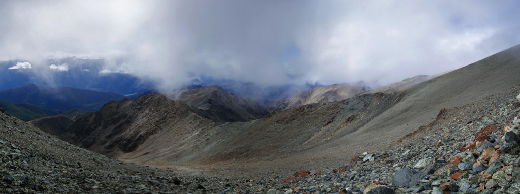
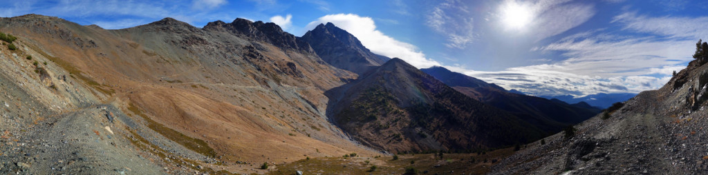
Panos:
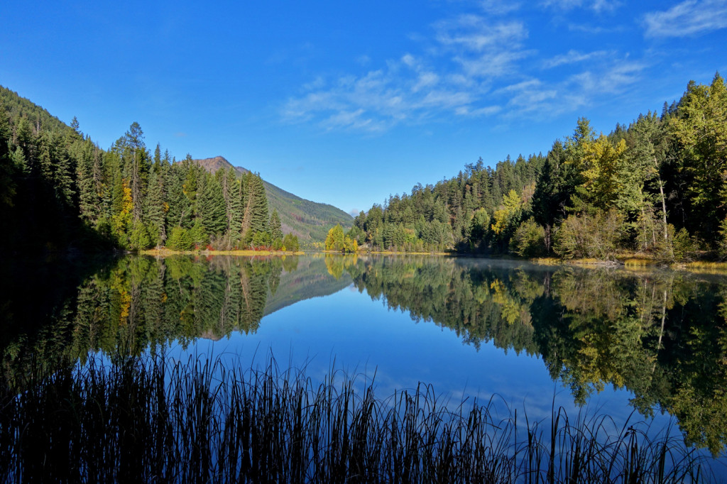
We decided to spend the night at the south end of Marshall Lake on Saturday night. The views were so much better!
South end of Marshall Lake:
Ryan’s photo set: http://realaworld.zenfolio.com/p489730138
My blood sugars were stable for most of the day, aside from a few lower trending readings. I was extremely frustrated with the scree slope on our way up, but this was a good learning curve. Turned out it wasn’t nearly as bad as I thought it was.
Another successful recon of the Shulaps. It’ll be a very long day, but I’m confident we’ll be able to summit within our next trip or two.
I hope everyone’s enjoying the shoulder season!
– Ash